environment

...now browsing by category


The fight to save California’s deserts

Monday, February 22nd, 2021

“Now, here, you see, it takes all the running you can do, to keep in the same place.” – Lewis Carroll, Alice in Wonderland


**UPDATE: This plan has officially been scrapped by the Biden administration. Read more here. THANK YOU for all you do to protect our wild places!!**

California’s deserts in the Pleistocene were much different than they are today. Sabertooth cats, camels, bears, and sloths once roamed the Elysian plains between ancient lakes, like Owens, Manly, and Manix. Today it is not green or wet and the notion of an ecologically rich Mojave Desert hardly registers with most travelers intent on arriving at their Las Vegas hotel in time for check-in.

California’s deserts have been leveraged to the point of breaking


This lack of connection to place makes it especially difficult to lobby for protection of a place like California’s desert region, which includes not only the Mojave but also the Colorado. Indeed, conservationists must surely feel like the Red Queen. An old adage in conservation is that only the losses are permanent, meaning that any “wins” will immediately be challenged. Those fighting to protect our wild places are constantly running; forward progress is measured in inches.

Almost exactly three years ago, I wrote a blog post about plans to revise the then newly-minted Desert Renewable Energy Conservation Plan (DRECP). This legislation clearly delineated what parts of California’s desert would be used for energy development and what would be conserved. Today, those plans have come to fruition. The DRECP–as it was adopted in 2016–is on the chopping block.

In mid-January, the Bureau of Land Management (BLM) released a draft plan to roll back part of the original DRECP. This opens more land for renewable energy development. Specifically, the plan proposes to reduce or eliminate areas within Areas of Critical Environmental Concern, or ACECs. For instance, the Cadiz Valley ACEC would be reduced from 191,200 to 67,600 acres under the proposed changes. The Cadiz Valley is critically important habitat for its aquifer and springs. It is one of the last pristine desert watersheds in California.

photograph of the rolling Cadiz sand dunes, one of many rich ecosystems in California’s deserts
Cadiz Dunes Wilderness

The California Energy Commission has said that they have more than enough land set aside through the original DRECP to meet current energy demands. The proposed rollbacks would remove an additional ~2 million acres from federal protection.

Proactive conservation requires connected ecosystems

Moving forward, the notion of conservation requires a significant paradigm shift. The DRECP was created with bipartisan support and with the long view in mind. It was a proactive response to decades of reactive environmental legislation.

As we shift from fossil fuels, renewable energy development is an unavoidable compromise. The DRECP allows us to plan for the future instead of trying to slow a runaway train. It takes into account the need for mandatory rooftop solar and the refurbishment of unused urban spaces for solar and wind energy.

Deserts are bellwethers of a changing climate. The DRECP was a first step towards the long-term preservation of several interconnected ecosystems. Connectivity is critical to allow wildlife the ability migrate, to search for mates, and to expand home ranges. Wildlife would once again be able to travel their ancestors’ paths. Desert tortoises, burro deer, and coyotes deserve freedom to roam. Bird populations are already collapsing in the Mojave, a sign of what’s yet to come.

A white-crowned sparrow perches on a branch in California’s desert.
A small chuckwalla basks on a sunny rock in Joshua Tree National Park, California

I look forward to someday living in a post-environmentalist world. Until then, protection of California’s deserts requires our stewardship and advocacy. There is no acceptable alternative to the DRECP as it is currently written. The Mojave Desert has been leveraged enough. I encourage you to join me in saying “no” to any changes to this landmark legislation.

Click this link and submit your comments before April 15, 2021.

Moonrise over the Inyo Mountains in Inyo County California. This is near Conglomerate Mesa, the site of a proposed energy development.

Small Acts

Friday, September 11th, 2020

“There is a tendency at every important but difficult crossroad to pretend that it’s not really there.” – Bill McKibben


The World on Fire

As I write this blog post, I’m watching the West burn. Not literally, of course, but ash is falling in my yard and the air reeks of an old campfire. Ash from a fire that was the result of a family gathering that was poorly–if ignorantly–planned. Friends on social media are sharing pictures of apocalypse-like skies from the San Francisco Bay Area, Oregon, and Washington. Denver was similar this past weekend, with smoke and record-breaking high temperatures. It snowed the next day.

The specter of climate change breathes down our necks once again as we watch our beloved landscapes being destroyed before our eyes. This year has led us to many crossroads…global climate change being just the tip of the iceberg. Institutionalized racism and the SARS-CoV-2 pandemic have tested our mettle as a society as well.

Physically, our world has shrank to the confines of our homes in the wake of social distancing and quarantine; these words have become part of our vocabulary in the last six months. Happy Hours now happen on Zoom, and so do concerts. Prepping to go to the grocery store feels a little more onerous than it did before. All of this is happening as we ask ourselves how we can confront and utilize our privilege to be better people for a more equitable society.

All of this may seem too much to bear, but hopefully 2020 is offering us a chance for an expanded world view. One thing that’s been on my mind a lot lately is my own relationship with the public lands of the West. It turns out to be rather complicated and it’s amazing how a simple change in thinking can–as a friend of mine used to say–peel reptilian scales from your eyes.

Honoring Indigenous Culture

Historically, the notion of Wilderness was built not only on undeveloped landscapes, but “unpeopled” ones as well. In fact Howard Zahniser, the primary author of the Wilderness Act of 1964 wrote, “A wilderness…is hereby recognized as an area where the earth and its community of life are untrammeled by man, where man himself is a visitor who does not remain.” This is strongly inconsistent with the idea that Indigenous People had made most of these places home for hundreds of years before the colonial creation of a wilderness.

There’s no doubt that we acknowledge–to some extent–the Indigenous cultures that came before us. Canyon de Chelly National Monument, for example, has a page on their website describing the history of the Navajo people who live there. This is the only place on their website where I can find reference to the Indigenous name of the Canyon–Tseyi‘. There is no mention of the removal of the Navajo people by Kit Carson in the Battle of Canyon de Chelly, the Long Walk, or the eventual return of the Navajo to their native home. These stories…aren’t being told.

Photo of Spider Rock in Canyon de Chelly National Monument, Arizona at sunset
Spider Rock at sunset in Canyon de Chelly National Monument. According to Navajo lore, Spider Woman, Na’ashje’ii Asdzaa, lived on top of this rock. She taught her people the art of weaving, and–supposedly–snatched naughty children from their homes.

We cherry pick the stories we want to tell about Indigenous cultures. The stories that make us feel good, we keep; we shy away from the ones that make us uncomfortable. Yet, we turn to indigenous knowledge when it benefits us for things like farming and perhaps very relevantly, fire suppression. It’s hard to have it both ways; we can’t rely on indigenous cultures but ignore their history.

Shifting the Narrative

Don’t misunderstand me: I love our public lands. National Parks and Monuments, Wildernesses, and National Forests are some of my favorite places; I will argue for their protection until I can’t any more. My own Wilderness Project is a testament to this. We just need to shift the narrative that’s been established about our public lands.

Our immediate world is small right now–follow the lead and start small. Tell the stories of these places, even when it’s embarrassing. Learn Indigenous place names. Advocate that Indigenous people have a voice in the management of their homelands. The creation of Bears Ears National Monument was predicated on the idea that local tribes would work together to speak for their homeland and ancestors. It wasn’t perfect, but it was novel, unique, and it honored native voices.

We all have voices, and we can do better. Will you join me?

Hillside in the Arc Dome Wilderness, Toiyabe Mountains, Nevada
Northern Paiute/Western Shoshone homeland, Nevada
Toiyabe Mountain sunset
Northern Paiute/Western Shoshone homeland, Nevada

Open for business: conserving our public lands

Monday, February 4th, 2019

The federal government re-opened–somewhat comically–minutes after I finished writing my last blog post. I’m happy to see our government operating normally again. Most importantly, our National Parks and other public lands are being staffed again. During the shut down, people damaged some of our natural–collective–treasures, perhaps irreversibly. I still don’t truly understand that. The time for conserving our public lands is now, and there is at least one very tangible thing we can all do.

photo of snow on Jacob, one of the Patriarchs in Zion National Park, Utah

In an attempt to offset the doom and gloom in my last post, I thought I’d share some good news! One somewhat humorous bright spot from the government shutdown itself came from Point Reyes National Seashore. Elephant seals took over Drakes Beach. Females gave birth to several dozen pups there, meaning they aren’t leaving any time soon.

Back to Bears Ears

Arizona Congressman Ruben Gallego and New Mexico Congresswoman recently introduced the Bears Ears Expansion and Respect for Sovereignty Act (BEARS Act) to Congress. The BEARS Act would re-establish the full 1.9 million-acre Bears Ears National Monument as proposed by the Bears Ears Inter-Tribal Coalition in 2015. When President Obama designated Bears Ears National Monument in 2016, the boundaries more closely followed the footprint laid out in other legislation. For more on Bears Ears see previous blog posts here and here.

Support the Public Lands Policy Package

Perhaps the biggest thing that is worth watching right now is the Natural Resources Management Act (S.47) which Lisa Murkowski of Alaska recently introduced into Congress. This bill is good news for several good reasons. First, it has bipartisan support–California’s Dianne Feinstein authored a large part of it. A longtime champion of California’s deserts, Feinstein proposes the expansion of desert National Parks (like Death Valley), the expansion of existing Wilderness areas, and the creation of new ones (good news for my Wilderness Project!).

photo of a rising moon at sunset in the orocopia mountains of southern california

Second, S.47 would provide for the permanent adoption of the Land & Water Conservation Fund (LWCF). Congress initially funded the LWCF in 1965 with widespread bipartisan support. Since then, the LWCF has provided funds for all sorts of projects from the National Parks to city parks. Its funding expired last year and needs to be renewed, for the benefit of all Americans. Click here to urge your legislator to adopt S.47.

Elephant seals teach us that nature will persevere, regardless of our short-sighted actions. However, there is hope that we’ll be able to find common ground in conserving our public lands for generations to come.

Nowhere Land

Monday, February 26th, 2018

“And here we are,” said Dr. Ford.

The boy replied, “Nowhere Land.”

“That seems hardly a fitting name for a place so full. Can’t you see it? Perhaps you’re not looking hard enough.”

– HBO’s Westworld


It’s been over 15 years since I moved to southern California, and the sheer scale & emptiness of its massive deserts are still coming into perspective. The Mojave Desert alone sprawls over 7 counties, covering 28% of California’s landmass; to truly get to know this place would take a lifetime of exploration.

To many, California’s deserts range from something that has to be tolerated on the drive from Los Angeles to Vegas to simply “the ugliest landscape I’ve ever seen.” Although many people love and cherish this landscape, it lacks intrinsic value to others. Despite (or because of?) the lack of intrinsic value, the desert is often seen as a place with only extrinsic monetary value. Because of this, it is under threat from several different directions. What are those threats, and why should we value the desert?

Photo of a phainopepla on a branch in Joshua Tree National park, California. Early morning light makes the blurred background golden, and the bird's characteristic red eye is apparent. The phainopepla is just one species of bird native to California's deserts.

Solar development

If California has an abundance of anything, it’s sunshine. It shouldn’t be surprising, then, that the Mojave Desert has been identified more than once for large-scale solar development. Most solar development involves “scraping” the desert floor of its native vegetation to install large arrays of solar arrays. Depending on the type of solar development, the arrays are either solar panels, or large mirrors which direct focused sunlight upwards towards a series of solar panels at the top of a tall tower.

In an effort to curtail chaotic and unplanned solar development in the California desert, the Obama administration passed the Desert Renewable Energy Conservation Plan (DRECP) in 2016. The idea behind the DRECP is simple: allow renewable energy development in certain areas of California’s deserts, while permanently protecting others.

Much of the focus of the DRECP was on prime habitat for some of the southwest’s most sensitive species, including desert tortoises. For instance, the massive Chuckwalla Bench (read more about the Chuckwalla Bench and Little Chuckwalla Mountains here), which extends from eastern Joshua Tree to the Colorado River in eastern Riverside County, is one of the best and most continuous desert tortoise habitats in the state.

At the beginning of February, the Trump Administration announced plans to revisit the DRECP with the intent of rolling back some of its original protections in order to open more of California’s deserts to renewable energy development. So far they have not offered a good reason for this.

It has been questioned whether large-scale solar development really benefits the environment or not.  What’s more, the Mojave Desert’s plants have been shown to be an incredibly good carbon sink, although their ability to reduce atmospheric carbon is heavily dependent on the occurrence of a wet winter. Thus, “scraping” away the plants on a large scale, or even covering them up, prevents the plants here from doing what they are best at. In solar arrays that focus light upward using mirrors, thousands of birds each year are accidentally incinerated (the Ivanpah solar array near the California-Nevada state line on Interstate 15 kills an estimated 6,000 birds/year).

Many solar projects have taken 3-4 years to build. From 2005-2016, all of the large-scale solar projects in California generated 1,470MW (megawatts) of energy. In 2015 alone, rooftop solar generated 1,050MW in California (source: Basin & Range Watch). I have said for years that rooftop solar should be mandatory on all new builds in the Southwest. Also, it is worth looking at other places for solar arrays, such as fields that are no longer farmed (as the city of Lancaster, California did). The bottom line is that there are alternatives to large-scale scrapes of critical desert habitat for solar.

Photo of the Chuckwalla Bench at sunset, Imperial County, California. The Chuckwalla Bench is one of the areas of high conservation importance in California's deserts.

Mining

As part of the DRECP rollback, the BLM has cancelled its withdrawal of conservation lands from mining claims. In other words, conservation areas that were previously protected from new mining claims now are not. The logic is that there is such little mining occurring in the Mojave Desert that any new claims would be practically imperceptible. However, that may not be the case.

Last week, two mining companies signed MOUs (Memoranda of Understanding) expressing lithium mining interests in the Mojave Desert. Standard Lithium is exploring possible lithium deposits in the area of Bristol Dry Lake, in Cadiz Valley and Pacific Imperial Mines is developing a lithium mining operation near Death Valley Junction. With the increased demand for batteries, lithium mines are becoming more and more common in the Mojave and Great Basin Deserts.

In both mining operations–and in most in the West–lithium is extracted from brine via the use of massive evaporation ponds. As water evaporates, the minerals can be extracted. It’s no wonder why these mines would be so common in this part of the world, given high mineral content of dry lake valleys.

According to Basin & Range Watch, new claims are still subject to environmental assessment. Disturbance caps (limits on the mining in a particular region) are still enforceable, but the withdrawal of these lands from the conservation plan certainly opens up the possibility that those caps could be changed in a revised DRECP.

Water

I discussed the threat of water extraction in the Cadiz Valley previously (see this blog post). It is ironic that much of the water extracted from the Cadiz Valley would likely be used in lithium mining operations, and would never actually make it to the Colorado River aqueduct.

Photo of golden sand dunes at sunset in California's Cadiz Valley. Multiple hills are visible creating alternating dark and light layers, with ripples in the sand from wind.

Finding intrinsic value in a barren landscape

The science behind the desert’s importance in combating global climate change is relatively easy. Describing why the desert is beautiful to a “nonbeliever” is slightly more difficult. For me, watching a monsoon storm gather over an already imposing desert mountain range is one of the prettiest things I’ve ever seen. I also think about the first time I showed my parents a desert tortoise. Even my mom, who I wouldn’t call a desert lover, was enthralled. This past weekend, I saw my first desert pupfish in Death Valley National Park and felt a familiar and fleeting sense of joy. My son saw his first rattlesnake on a hike with me in Joshua Tree. He didn’t stop running for a solid half mile once he realized what he had just walked by, but he hasn’t forgotten about it either.

Photo of pupfish in Salt Creek, Death Valley National Park California. Desert pupfish are a critically endangered species, and are capable of living in extremely saline environments.

The point is that there are a million reasons to value and make memories in the desert. I can’t tell you what to value, just as I can’t tell you who to fall in love with. But, I can say that familiarity breeds intimacy, and California’s deserts need as many allies as possible right now.

While you’re developing your own relationship with the desert, there are some things you can do right now:

  1. Sign the online petition telling the BLM you would like to keep the DRECP intact. The BLM is accepting comments until March 22.
  2. Attend a public meeting to tell BLM representatives in person to keep the DRECP intact. I’ll be at the March 7 meeting in Palm Desert.
  3. Call or email your county supervisor. Because counties have a big role in developing the DRECP, your county supervisor will want to receive input from both residents and visitors.

California’s deserts may be barren, but they’re far from empty.

Photo of Joshua Trees at sunrise with a boulder pile in the background. Joshua Trees are a characteristic species in the Mojave Desert, which covers approximately 28% of California's landmass.


Water, sand, and the edge of wilderness

Friday, January 26th, 2018

“He said, “Americans look upon water as an inexhaustible resource. It’s not, if you’re mining it.” – John McPhee, Assembling California


If you live in southern California and read the news, you’ve probably heard about the Cadiz Water Project. The basic premise behind the project is to pump groundwater out of the Cadiz Valley in the Mojave Desert and pump it into the Colorado River aqueduct, thus delivering it to the Los Angeles Basin. For thirsty Angelenos, this seems like a great solution, and to paraphrase the old adage, if the source of the water is out of sight, it’s also out of mind.

The Cadiz Valley is also home to the Cadiz Dunes Wilderness, which is primarily made up of the Cadiz Dunes complex and portions surrounding valley.  A large part of the Cadiz Valley–including the Wilderness–are part of the Mojave Trails National Monument, which was designated in 2016. Because of increased news coverage, two friends and I recently went to the Cadiz Valley to photograph the dunes and experience the place first-hand.

The Cadiz Valley is a typical Basin and Range valley. It is surrounded by the Sheephole Mountains to the west, the Ship Mountains to the north, and the Old Woman Mountains to the east. A lake, which has long since dried up, once occupied the entire valley; blowing sand has created the Cadiz Dunes complex. Because of the minerals the lake left behind, several salt mines have popped up in the southern end of the valley. A railroad right-of-way also runs through the valley, connecting historic Route 66 with Parker, Arizona. When we visited, we drove for over 60 miles on unpaved roads and didn’t see another vehicle. As Mark said, “in southern California, that’s a pretty good indicator that you’re way out there.” Indeed, I bet it’s highly unlikely that many desert travelers give the Cadiz Valley much thought.

The Ship Mountains as seen from the Cadiz Dunes after sunset. Alpenglow covers the landscape.

The Cadiz Water Project

An interesting thing about the valley, and the reason it’s front-and-center in Los Angeles’ water politics, is the large aquifer that lies beneath it. Cadiz Inc., which owns several thousand acres in the valley, has proposed to pump water from the aquifer, and through a 43-mile-long pipeline, move it to the Colorado River aqueduct so it can be transported to the Los Angeles Basin.  The Cadiz Valley Water Conservation, Recovery and Storage Project–or Cadiz Water Project–has met with poor investor interest, court battles, and seemingly endless hurdles.

Last fall, however, the project got a new head of steam. David Bernhardt, a former partner at the law firm representing Cadiz, was confirmed as the Deputy Secretary of the Department of the Interior (in unrelated news, the Department of Interior also rolled back legislation limiting the use of railroad right-of-ways so the pipeline could be built) and a bill in the California state senate that would have shut down Cadiz was voted down by senate Democrats. There are still legal battles taking place, but this plan has a real possibility of happening.

Silly, and dangerously antiquated

Cadiz Inc. owns the rights to 50,000 acre-feet of water per year for the next 50 years; that’s 50,000 acre feet being pumped out of the ground each year and into the aqueduct. The aquifer is only replenishing itself at a rate of 32,000 acre feet per year. Cadiz also estimates the cost of their water between $775-$960/acre foot; the current price the Los Angeles Municipal Water District charges is $670/acre foot. Thus, water coming from this project would cost the consumer more.  Finally, the water Cadiz plans on pumping out of the aquifer contains the carcinogen hexavalent chromium. They argue that by diluting it in Colorado River water, levels of hexavalent chromium would be safe for human consumption. Finally, in seismically active southern California, any pipeline is going to require expensive maintenance.

Although the Colorado River aqueduct is an engineering achievement, it is admittedly antiquated and unsustainable. So is the Los Angeles aqueduct that brings water from the Owens Valley. For a truly sustainable solution to water woes, we need to be looking closer to the point of use: desalination plants, and water recycling make much more sense than piping water from hundreds of miles away.

photo of Cadiz Sand Dune complex at sunset; the rolling sand dunes have a slight purple color, and the southern horizon displays sunset colors

Thinking past the wilderness boundaries

A federally designated Wilderness is by definition a place of compromise. Its boundaries have been drawn as lines on a map based on public comments, input from all interested parties, and after a vote on its designation by people who will likely never see the place, or think about it again. Nevertheless, this is one of my favorite levels of protection for a place because it ensures that the land will remain as pristine as possible for generations to come. But tonight my mind is concerned with what lies beyond the edge of Wilderness boundaries. What of that landscape?

An edge, as defined by ecologists, is a place of transition between habitats: forest and meadow, for example. Deer and other herbivores can often be found along edges; they stay close to the cover of the forest, while enjoying the ability to graze in a meadow. For a hungry predator, this can be a place of incredible opportunity, but for distracted prey edges can be a great danger. Indeed, the future of the Cadiz Valley is not really all that different from a deer grazing at the edge of a meadow.

photo of expansive rolling sand dunes at sunset with the sheephole mountains in the distance

Standing on the Cadiz Dunes at sunset, looking east across a creosote sea towards the Old Woman Mountains, I was reminded why we visit these places. The road we drove in on was somewhere in front of me, but was rendered invisible due–if nothing else–to the vastness of the landscape. I found myself caught in one of those moments when the silence was deafening. In this big landscape, I was reminded of just how small I am, re-instilling my sense of humility. Looking out across the arbitrary lines protecting the Wilderness, my eyes try to imagine the dust from pipeline construction or the shimmer on the horizon from a body of evaporating water–the result of a pipeline spill. My ears try to hear the sound of pumps in the distance, sending groundwater on their long journey to Los Angeles.

The Cadiz Water Project would provide additional water to Los Angeles for 50 more years. Fifty more years to ruin a beautiful desert valley and search for another aquifer we can mine water from.

black and white photograph of roadrunner tracks going across a sand dune in the cadiz valley of southern California

Fire in the sky

Friday, August 18th, 2017

“The agent by which fire was first brought down to earth and made available to mortal man was lightning. To this source every hearth owes its flames.” – Lucretius, De Rerum Natura


The sky has long been a source of wonder for humankind. Colorful sunrises and sets, stargazing, and of course events like eclipses are all things that evoke awe and inspiration. People in certain parts of the United States are gearing up for the upcoming solar eclipse on Monday, August 21. Personally, I’ll be driving across northern Arizona during the eclipse. I intend only to pull over and enjoy what will be about 75% occlusion as the moon passes between Earth and the sun.

While the solar eclipse will be the capstone of summer for many, the season–to me–is sadly becoming defined less by swimming pools and barbecues and more by wildland fires. Currently, there are 56 large fires burning in the United States; 55 of them are in the West. This is a particularly bad year for fires, but over the past few summers my own wilderness exploration has depended heavily on where smoke is not obscuring the views. Despite what Lucretius opined in his first century poem De Rerum Natura, most wildland fires today are human-caused. Only a small percentage are caused by lightning.

Earlier this week, Jackson Frishman and I managed to get our boys out for a short overnight backpack in the John Muir Wilderness. Smoke from several fires burning in the Sierra Nevada obscured views in the Owens Valley, but as we hiked up, the air seemed to clear. A few clouds in the sky made a colorful sunset seem promising.

photo of grass along the edge of matlock lake and university peak with late day light in the john muir wilderness of california

Indeed, as the sun went down, the sky started to light up. I was using a polarizing filter to help reduce glare on the lake we were camped by. As sunset got nearer, I noticed a very strange effect on the images I was making. What I can only conclude was “invisible” smoke in the upper atmosphere was showing up in my polarized images, intermingling with the pink clouds. The result, I think, is unique and pretty (despite its cause).

photo of a colorful sunset at Matlock Lake in the John Muir Wilderness, California

If you are going outdoors with family and friends next week to view the eclipse, I wish you luck. I also hope smoke does not obscure your view. Please make sure to not add to the smoke by being very careful with any fires you make.

A letter to Secretary Zinke

Monday, May 8th, 2017

Dear Interior Secretary Zinke:

Last Friday, your office released a memo of the National Monuments under review per executive order 13792. This letter is regarding that order.

Much has been written about the “Western ethos.” This intangible set of characteristics enabled the pioneers to settle and explore the lands west of the Mississippi. Today that same tenacity and those values live on in Westerners who eek out a living in our arid Western landscape. Perhaps more than any of the other values, vision is the one I think is the most uniquely Western. Today, just as 150 years ago, we have a vision of what the West should be; our collective actions have been an (often unsuccessful) attempt to make the landscape to conform with our vision.

In the Antiquities Act, Theodore Roosevelt also had a vision for the West. The national monuments he and the presidents who have followed him have left behind for America are a tangible reminder of Western vision and tenacity. As Wallace Stegner said, the Western landscape–whose crown jewels are protected by our national parks and monuments–is what we as a people have built our very character against.

Much of this land has inherent monetary value, as the men who have looted archaeological sites for years on Cedar Mesa, which is now protected as part of Bears Ears National Monument in southeastern Utah, would tell you. Or the men who want to drill oil and gas wells in Papahanaumokuakea Marine National Monument in Hawaii or mine uranium from Grand Canyon-Parashant National Monument in Arizona, would tell you. However, some of it simply has been protected for the sake of protection.

thunderstorm and fiery sunset at bears ears buttes in san juan county utah

San Gabriel Mountains National Monument in southern California houses three federally-designated Wildernesses, and is home to last bighorn sheep herd in the Transverse Ranges. Carrizo Plain National Monument in California is the home of critically endangered species such as the giant kangaroo rat (Dipodomys ingens, a keystone species), San Joaquin antelope ground squirrel (Ammospermophilus nelsoni), and San Joaquin kit fox (Vulpes macrotis mutica). Finally, back to Bears Ears and moving beyond its monetary value, the monument symbolizes Native American sovereignty, and our government’s heartfelt acknowledgement that indigenous tribal history is one of the threads that holds our nation together.

antelope ground squirrel with grass in its mouth at carrizo plain national monument in southern california

In using the Antiquities Act, President Roosevelt personified the characteristic of possessing vision. He also showed incredible restraint, the rarest of virtues. The President would have remained vigilant of the landscape’s monetary value to the people, but he would have reminded us sometimes we need to protect a place simply so that future generations can experience it. In this sense, he would have worked to compromise in the creation of National Monuments. Indeed, the men who followed Roosevelt saw that that was the case in Grand Staircase-Escalante, Gold Butte, Grand Canyon-Parashant, and the others. Borders of these monuments were carefully set, with the interests of all “sides” in mind.

As a self-proclaimed disciple of Mr. Roosevelt, I’m sure you are familiar with his New Nationalism speech from 1910, in which he said, “It is of little use for us to pay lip-loyalty to the mighty men of the past unless we sincerely endeavor to apply to the problems of the present precisely the qualities which in other crises enabled the men of that day to meet those crises.” Secretary Zinke, I am asking you to look not only at our past, but also how far we’ve come as a nation as you endeavor to begin this review of our National Monuments. To paraphrase John Sawhill, you have the ability to ensure that future generations judge us by what we have chosen to protect, rather than by what we have extracted from the earth.

Keep our National Monuments intact.

apricot globe mallow wildflowers and buttes near lake mead at sunrise in gold butte national monument, nevada

Photography and Public Lands, a continuation

Tuesday, December 13th, 2016

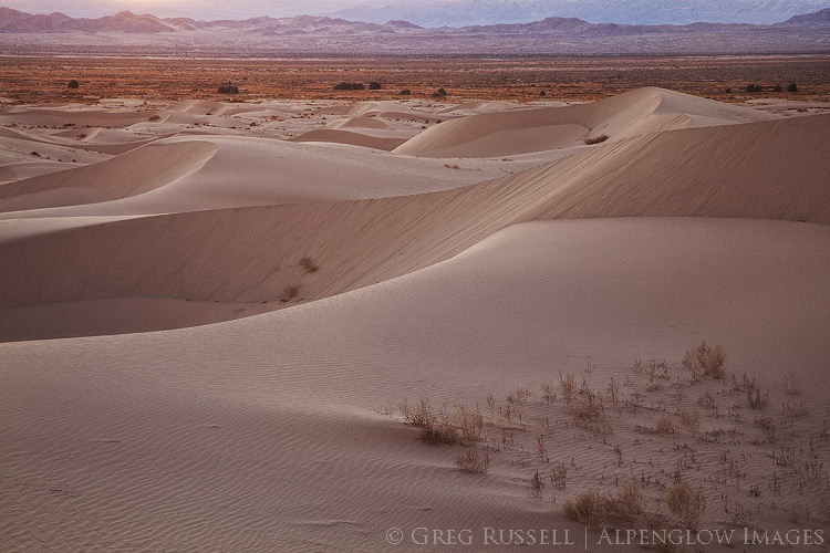
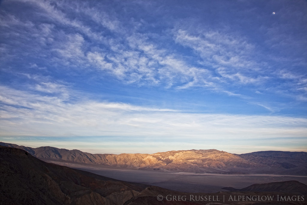
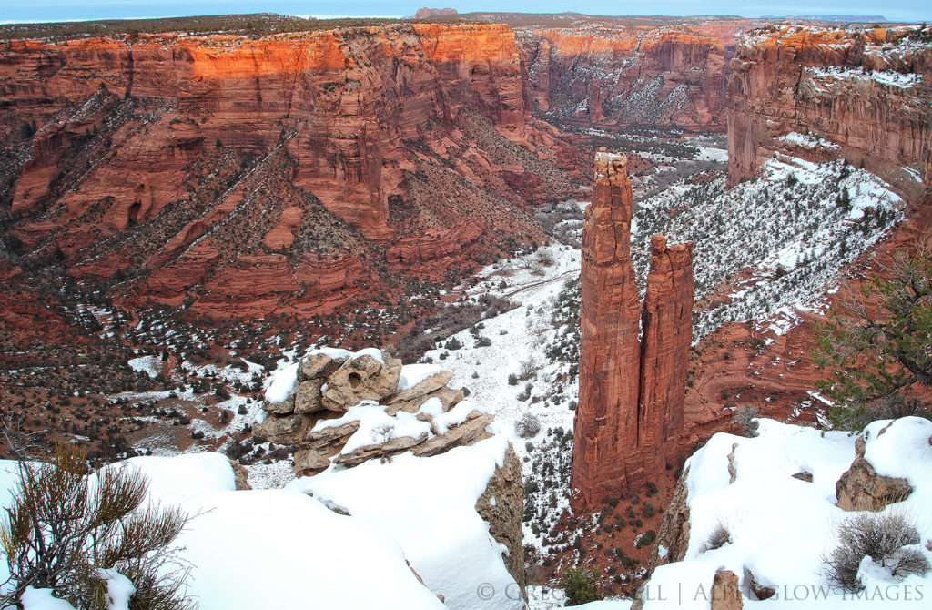
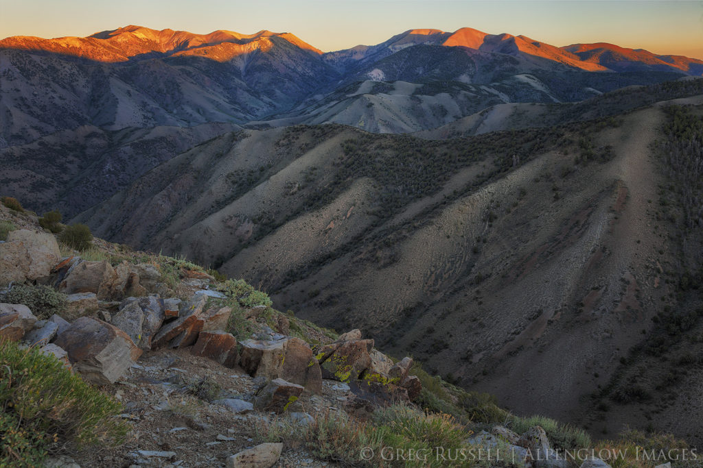
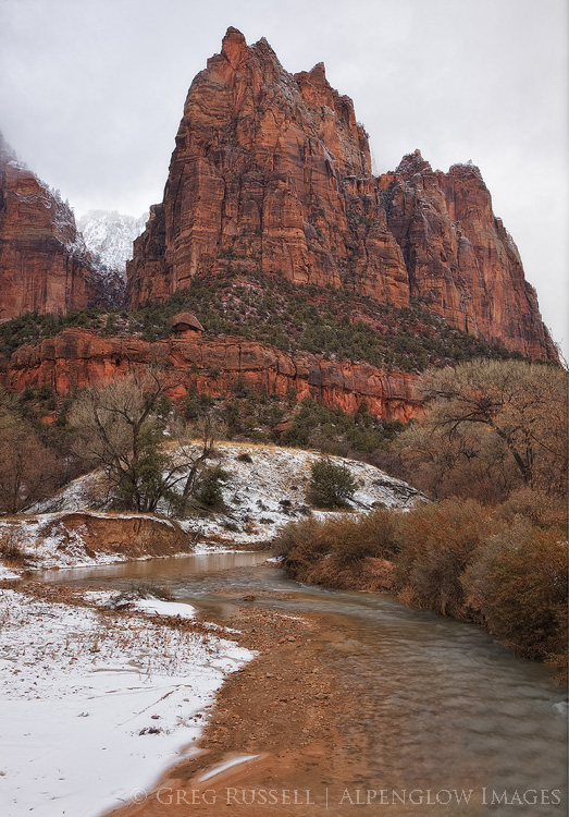
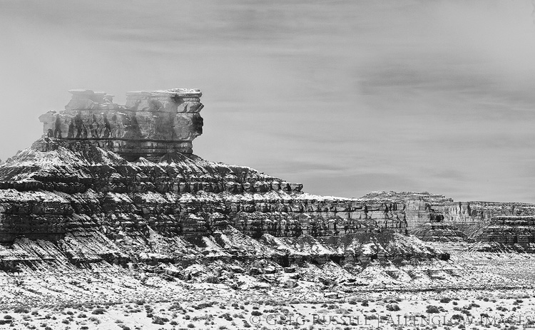
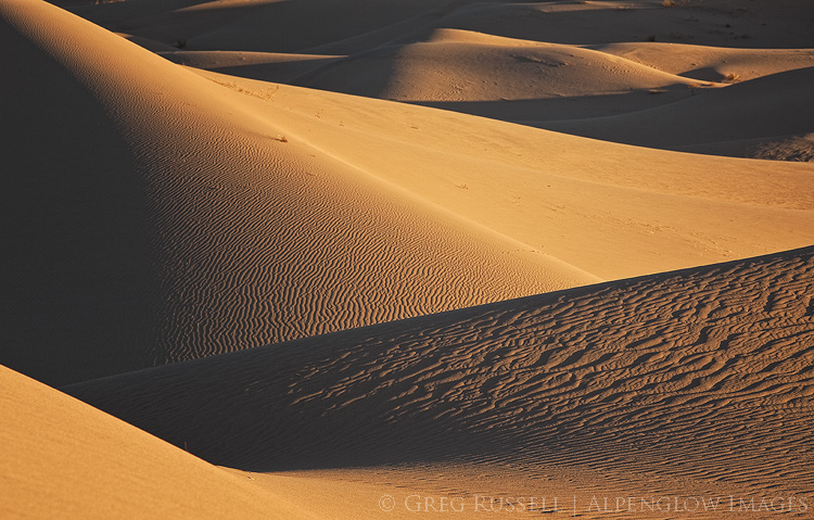
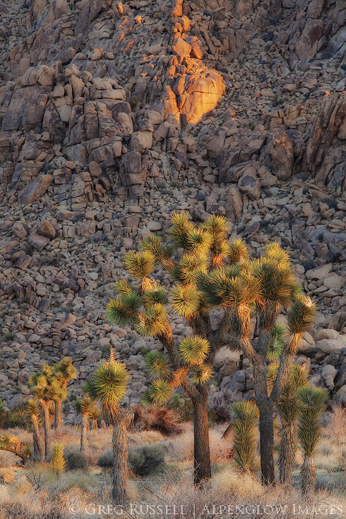
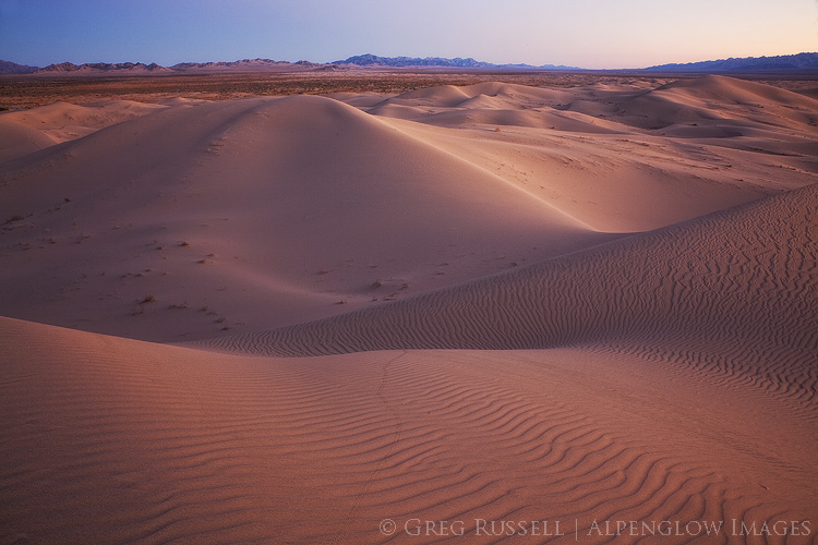
In my last blog post, I expressed a somewhat emotional response to the current threats facing our Western public lands. In this post, I’d like to provide a bit of context to some of the current threats, as well as the land transfer movement in general. It’s an especially complicated web of interactions and is really difficult to sum up in one blog post, so consider this an introduction. I believe that an understanding of these issues are something any Westerner should be aware of, as well as anyone working in the West (which includes landscape photographers, who have a vested interest in the preservation of wild space).

A look at our nation’s history

To understand what’s happening now in the West, we have to go back to 1862, and the passage of the first of the Homestead Acts. The Homestead Acts awarded 40-acre parcels of public land at little or no cost to homesteaders who were willing to improve it for agriculture for a period of 5 years.  Because most of the public land lied in the West, this basically amounted to the opening of the frontier, especially in the wake of the Civil War, when later Homestead Acts were passed.

As anyone who has spent any time in the West can attest, it’s a hardscrabble place with little rainfall, and it’s difficult to make a living here. So, it’s no surprise that many lands were left unclaimed because of the barriers the landscape presented. Combine this with the entry of two large Western states–Arizona and New Mexico–into the union in 1913, and the federal government was left with a huge amount of public land to manage. Although the soil may not have been conducive to farming, and (lack of) rainfall may not have made grazing easy, minerals and timber were abundant, so the government ultimately created the US Forest Service (1905) and Bureau of Land Management (BLM; 1946) to manage much of these resources, and to ease the burden on the Department of Interior, which oversees the National Park Service.

Let’s think about this for a moment. One of the things many Westerners identify with is a rugged individualism, the settling of the wild frontier. When the frontier opened during the nation’s reconstruction and the US government was basically giving parcels of land for free, Western culture laid down its roots. Within several decades, the US government, who was now in control of most public lands in the West (and still is, see the map below), needed a management plan. From the point of view of many homesteaders, this amounted to the government saying, “We gave you this land, and you settled it, but now we’re going to tell you how we want it managed.”

Map of public lands in the united states of america

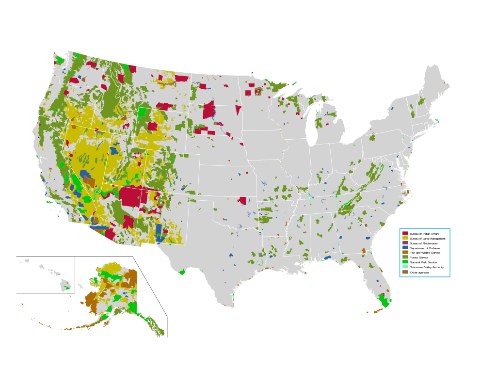
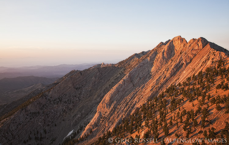
Most of the nation’s public lands are in the West. Public Domain image downloaded from Wikipedia

As you can imagine, a homesteader who was suddenly being told how the land they had been mining, or grazing their cattle on might be a little bit upset. So, to some extent there’s always been some level of anti-government sentiment in the West, which has been compounded by people who move to the West for added seclusion and an increased sense of isolationism. Indeed, such high profile incidents as Ruby Ridge, and even the car bombing of a federal building in Oklahoma City in 1995 have either directly or indirectly been the result of rugged individualism clashing with government oversight.

Land transfer & the Sagebrush Rebellion

While private development is not usually allowed on public lands, grazing allotments can be leased, there are some mining claims, and of course recreation is allowed such as hiking, rock climbing, photography, and hunting and fishing, although specific rules vary somewhat depending on the management agency, etc. For instance, no hunting or fishing is allowed in national parks.

In 1932, the federal government did try to transfer land back to the states, but in post-Depression America, states were concerned about having the funds to manage the lands effectively, etc. As a result they stayed under federal control. Today, the federal government pays states for the land that cannot be developed, and as a result, taxed. These payments in lieu of taxes can be a significant revenue generator for certain counties that have a large proportion of public land.  Similarly, other sources of income like the ones resulting from the Taylor Grazing Act are important for certain counties (see reference below).

In 1976, in an effort to more explicitly regulate some of the above-mentioned activities on federal lands, Congress passed the Federal Land Policy and Management Act (FLPMA) that officially ended homesteading and formalized processes for regulating activities on federal lands, specifically those administered by the BLM. Within a year, the FLPMA had drawn enough ire from ranchers and miners that legislation was introduced into Congress that would transfer some land back to the states with the idea being that the land could be managed more directly for the sake of individual interests there.  This legislation–which was introduced twice but did not pass–was the birth of a movement known as the Sagebrush Rebellion.

Where are we now?

Since the late 1970s the Sagebrush Rebellion hasn’t really garnered much attention per se, although there have been some very high profile incidents that revolve around the federal government and disagreements with private citizens (The standoff at the Bundy Ranch in Nevada and the occupation of the Malheur National Wildlife Refuge in Oregon are two of the most well known). Despite the fact none of these incidents have resulted in major legislative changes, there is the argument that they really are counterproductive to their stated original intent (see here and here), driving wedges where they don’t really belong.

That ‘stated original intent’ is also a bit cloudy. When you dig into the web of what’s morphed from the Sagebrush Rebellion into the Land Transfer Movement, things get confusing fast. Ranchers aren’t the only concerned parties it seems, but militia members and “alt-right” conservatives also seem to have a vested interest in returning public land to the states or private parties. Similarly, members of Congress also have ties to groups like the American Lands Council (which has a misleading name but is the biggest proponent of the Land Transfer Movement).

Most recently, representative Rob Bishop from Utah introduced the Public Lands Initiative to Congress, which would have returned public lands in Utah to state control; fortunately it was not voted on before Congress ended their session in late 2016, effectively killing the bill.

Sunrise at Grandview Point, in the white mountains of eastern california

What’s the big deal, and what next?

With all of these failed attempts to return Western public lands to state control, why should you care? There are several reasons.  First, the vocal minority who are perpetrating the highest-profile standoffs with government officials are becoming increasingly violent. Threats to public lands employees are becoming more common. Second, while this legislation has failed in the past, it doesn’t mean it always will. Rob Bishop is the chairman of the House Committee on Natural Resources, and advocates development of Utah’s wild places. Sooner or later, he’ll catch the ear of influential people who can make things happen. This is underscored by the fact that it’s becoming clearer that the Land Transfer Movement is incredibly well funded.

Lands transferred to state or private control do stand a higher chance of oil and gas or large scale mining development, among other things. This would make it more difficult to pass legislation fighting global warming, and thus would set heartbreaking precedents, and do irreversible damage to our Western landscapes. A common response I’ve seen to these threats on social media is, “It’ll never happen!” Maybe not, but the stakes are simply too high to sit back and assume it won’t happen.

There is hope, though. Although a vocal minority is favor of the transfer of Western public lands, the majority of Westerners are not. This was well illustrated just last month in Nevada’s general election as well as in the Montana governor’s race. As Westerners we all need to be educated, and see through the politics, and look for common ground together. Very few of us would disagree that there is room on public lands for everyone–grazing interests, hunters, photographers, backpackers, etc. None of us want these magnificent landscapes spoiled.

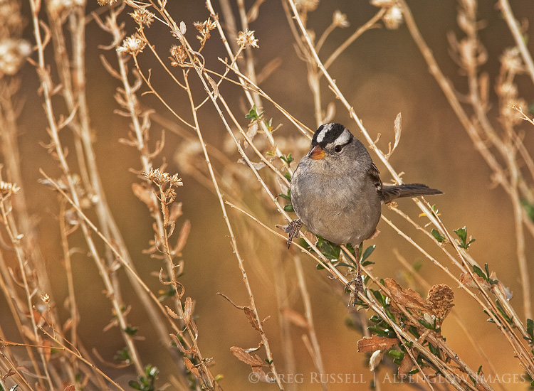
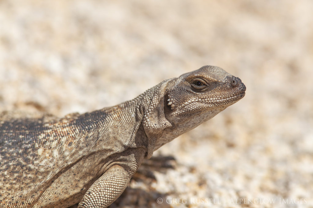
As photographers what can we do?  I have several ideas. First, you can donate your images to worthy nonprofit groups (e.g., the Southern Utah Wilderness Alliance or Grand Canyon Trust). If that is financially prohibitive, consider donating a portion of your proceeds to these causes, or to the support of quality journalism. Second, tap into your local community. Learn what the land use issues are, and how your images can support groups advocating for your position. Similarly, take advantage of public comment periods on these issues (and use your images to support your comments).  Third, build bridges outside of your box. Hunters and anglers are equally as vested in the land as you are–how can your images help advocate for issues important to them?

This is just a start–feel free to offer more ideas in the comments.

sunrise on currant mountain, near ely nevada

References

Read the Homestead Act of 1862 here.

An in-depth history of in-lieu programs for western federal lands can be found here.

Read the Federal Land Policy and Management Act here.

Photography and our Public Lands

Friday, November 18th, 2016

Over the last several weeks, we have been reminded of very real threats–or at least dangerous precedents set–to the Western landscape, and to American public lands in general. First, all defendants in the 41-day standoff at the Malheur National Wildlife Refuge in Oregon were found not guilty of charges of federal conspiracy and gun charges. Less than two weeks later, the United States presidential election resulted in a Republican-controlled presidency and congress, leaving federal public lands at greater risk for fossil fuel development, or even return to state control.

For anyone concerned with the preservation of wilderness, our cultural landscape, or simply the health of future generations, neither of these occurrences should set well.  Together, they’ve been keeping me up at night. Reconciling all of this news is no small task.

black and white image of the funeral mountains in death valley national park

“I want people to remember how photography works, the medium that depends on perfect darkness within the camera to capture the image, for an image of boundless light would be purely black, an exposure in perfect darkness would show just the white of unexposed paper. The visible world depends on both.” -Rebecca Solnit | Hugging the Shadows

Finding purple in a sea of blue and red

Last week, shortly after the election, I had a conversation on social media regarding the proposed Bears Ears National Monument (which I have written about before). Although I have some hesitation about the Bears Ears region being designated a National Monument, it really is the perfect candidate for protection under the Antiquities Act, although a longtime friend disagreed. While we had opposite opinions, our underlying concern for the region is the same: both of us would like to see it remain as pristine as possible. While our sedimentary layers may be different, we are standing on the same bedrock.

Looking at election maps from last week, there appears to be a deep divide in ideology between rural and urban areas, however I’d like to think we’re more purple than red vs. blue, and that the bedrock most of us are standing on is the same. Indeed, if you look at the role public lands played in western elections this season, it is clear we value our public lands.

Looking forward, I have questions.  Is it possible to search for common ground, while at the same time not compromising core values? Can we find a common currency for the value we attribute to public lands? Perhaps, more importantly, what can photographers do now?

winter storm and dark clouds over the salt playa in columbus valley nevada

Working locally, reconnecting to place

There are a few resources out there for having the conversations that are sure to happen more frequently in coming months (this is a great one). One thing they all seem to mention is to talk about feelings, rather than facts, at least to start with. As a scientist, I think, “but the facts are all that matter!” but as an artist, I get it. Art, including landscape photography, has the power to change the way people look at their world. There’s been some debate about whether artists can or should be activists or whether art should exist independently, but my gut is telling me now is the time for us all to be activists. Share your work with as many people as possible. Create content, be heard.

I’ve lamented before that as a people we are woefully detached from place, so perhaps it is the job of artists to bring us back to that. Share your work locally. Every local in every town has stories to share about their “backyard”–tap into those stories and work to reconnect people with what may have been lost.

If anything, recent news is a reminder that our public lands–and the places we love to photograph–are in danger of becoming not-so-public, and should be a good reminder to us all to educate ourselves on local politics, and think of ways to use our photography to shift the tide towards a secure future.

Sunset in western Nevada

Public Comments on the Grand Canyon Escalade Project

Thursday, September 1st, 2016

Earlier this week, Bill 0293-16 came before the Navajo Nation Council for approval. This bill contains the much-contested Grand Canyon Escalade Project, which is a massive development project on the east rim of the Grand Canyon near Grand Canyon National Park and the confluence of the Colorado and Little Colorado Rivers. Grand Canyon Escalade would be destructive on several levels, and I believe it should be opposed. The nonprofit group Save the Confluence has much more about the project on their website. 

The Navajo Nation Council is asking for public comments on the bill until 9/3/16 (which is not much time). You can submit your comments directly to the council by emailing them at comments@navajo-nsn.gov, with Bill 0293-16 in the subject line. 

Here are the comments I sent the council regarding Grand Canyon Escalade this morning.

Esteemed council members:

I am writing regarding the proposed Grand Canyon Escalade Project, which is up for approval as part of Bill 0293-16 and is currently before you.  As I understand it, the bill asks for approval of several items, including significant development of an area on the Grand Canyon’s east rim, near the confluence of the Colorado and Little Colorado Rivers, near the border of the Navajo Nation and Grand Canyon National Park. I understand this project would bring tourism and revenue to the Navajo Nation and as a non-tribal member of the community, I cannot speak for what the confluence means to the families and clans who live west of Highway 89. Nonetheless, I submit my comments for your consideration.

As places go, the Grand Canyon has faced its share of threats, and fortunately it has dodged some of the biggest ones (like the Bridge and Marble dams, whose progress was halted permanently in 1969). Today it seems like the West along with many other concerned people around the world is again holding its breath to see how the Grand Canyon Escalade Project will play out.

In 1993, I came to the Grand Canyon for the first time with my Boy Scout troop from Farmington, New Mexico. We backpacked into the Canyon from the South Rim; it was my first backpacking trip and I made many lifelong memories. Since then, I have become an avid backpacker, even taking my son into the wilderness for the first time when he was two. In an increasingly busy world, wilderness provides solitude, solace, and sanctuary. I have returned many times to the Grand Canyon since 1993 and in 2013 (twenty years after my first visit) I again found myself backpacking the Grand Canyon, only this time I was hiking to Cape Solitude to see the confluence–and the proposed site for Grand Canyon Escalade–myself.

The trip was impactful for me, and it became even more clear why the Grand Canyon Escalade simply cannot happen. During the entire trip–which comprised over 40 miles of hiking–we did not see an another human, not even another human footprint. We crossed paths with a herd of elk several times, but beyond that the silence was deafening and the dark night sky mesmerizing. The loneliness was aching and beautiful. Indeed, the area of Grand Canyon National Park that Cape Solitude lies in only sees about 50 visitors a year, which is a far cry from the much more busy main corridor along the South Rim; it feels like it is a world away.

Grand Canyon Escalade would be putting undue stress on an ecologically sensitive area and destroying one of nature’s cathedrals that has been billions of years in the making. This part of the Grand Canyon doesn’t need a lot of visitors for it to be special. Wilderness is like that. As much as we need food or water, I believe we need wild places. We do not need to visit them often, and when we do they should be difficult to get to, but simply knowing these places are there calms the nerves in the hustle and bustle of city life.

One night, decades ago, the famous Western author Edward Abbey sat at Cape Solitude and wrote, “We must preserve, not obliterate, what still remains of the American wilderness, the American hope, the American adventure.” Restraint is one of the rarest of virtues, but I ask that you exercise it here, thus preserving the east rim of the Grand Canyon, untouched and unmarred, for future generations.

Respectfully,

Greg Russell

Sunrise at the confluence of the Colorado and Little Colorado rivers the site of the proposed Grand Canyon Escalade project

The Confluence of the Colorado and Little Colorado Rivers