california

...now browsing by category


Thriving Communities

Monday, July 10th, 2017

This is my eleventh hour letter to the Secretary of the Interior. As Edward Abbey wrote, my vox clamantis in deserto, my voice crying in the wilderness.

Today is the final day to submit your comments on Executive Order 13792, which orders a review of all national monuments established since 1996. This review is to ensure that they were created in accordance with the original intent of the Antiquities Act of 1906. The most pressing national monument “under review” is Bears Ears, although there are many others, several of which are in the West. Please make your opinion heard; it is the only way for the the Secretary to hear our thoughts on this matter. You can read my other thoughts on this in these blog posts (here and here).

Comments may be submitted online at http://www.regulations.gov by entering “DOI-2017-0002” in the Search bar and clicking “Search,” or by mail to Monument Review, MS-1530, U.S. Department of the Interior, 1849 C Street NW, Washington, DC 20240.


Mojave Trails National Monument

With July 10th looming closer, I decided to spend the part of the weekend in the desert, photographing monsoon thunderstorms. Perhaps more than that, I simply wanted to be out on my public lands. After considering where the storms were moving, I ended up on the western edge of Mojave Trails National Monument, one of the monuments currently under review by the Department of Interior. While the scenery did not disappoint, a small foible of my own began a series of events that has caused my view of our National Monuments to evolve.

Mojave Trails is just a little less than 2 years old, and protects a very large swath of the Mojave Desert in southern California. The Cadiz Dunes and parts of historic Route 66 are two highlights of the monument, but there are countless other mountain ranges and valleys, each with their own bits of natural wonder and history. The casual observer may see only miles of desolate, lonely creosote in Mojave Trails. However, a 2014 study published in the scientific journal Nature identified the Mojave Desert as a huge sink for carbon–in other words, the plants here do an incredible job of removing carbon from the atmosphere, thus curtailing global warming. Uninterrupted patches of desert are even more important than we originally thought.

photo of mountain ranges and valleys in Mojave Trails National Monument

A Sandy Situation

After entering the monument, I pulled off the highway, ate lunch, and continued down a long dirt road. My plan was to get as close to Ship Mountain as possible, for views of the Sheepshole Mountains, as well as the Cadiz Valley to the east. With temperatures well over 100 degrees, I was content to enjoy the air conditioning while I enjoyed the scenery.

Like most backcountry roads in the Mojave, I encountered several patches of sand, which I floated through effortlessly. Then, I got to the big sand pit. As soon as I realized I shouldn’t be there, I put the car in reverse and floored the gas. All I got was a giant dust cloud. I realized I was stuck immediately, so I used some wood I found to try to build a bridge for my car’s tires. Still nothing. I found something I could dig with, and actually got to a hard bottom of the sand, but my tires still couldn’t find purchase. I tried everything I could think of, but it soon became clear that I needed help.

It’s time for me to dine on crow for a bit, and admit that I screwed up. Although I normally am very aware of my limits, I was in a 2WD vehicle on a backcountry road, and did not have the proper equipment (like a shovel, or an air pump so I could deflate my tires) to extract myself. However, I did have a full tank of gas (for air conditioning), a GPS messenger, and lots of water and food. More importantly, I had cell service.

I called my girlfriend to ask her to call AAA for me, hoping they would be able to send a wrecker to pull me out. Of course, the nearest service wanted $1500 for their time, so that wasn’t an option. Still, my girlfriend and her dad drove out to pick me up, and we left the car for the night.

On our way home, we stopped for dinner, and happened to ask our waiter (somewhat jokingly) if he knew anyone with a 4×4 who would be willing to pull me out. Turns out he did! We got into contact with an entire network of good samaritan off-roading enthusiasts who pull people like me out of sticky situations for free. I posted my GPS coordinates and a description of my problem on one of their forums and within minutes I had several people willing and ready to help. The next morning I met two servicemen stationed in Twentynine Palms, and they had me out within minutes. We even stopped on the way to my car so they could help another motorist in need.

The cost of their goodwill? A handshake.

Our National Monuments as common ground

Even today, writing this, I’m blown away by their simple willingness to help, and wanting nothing in return. They would have driven anywhere to help me, and one of them even offered to come help me at 3am, before he realized I had gotten a ride out for the night. This neighborly goodwill and cooperation is what Daniel Kemmis writes about extensively in his excellent book, “Community and the Politics of Place.

Although I likely won’t cross paths with those men again, I am thankful for their selfless willingness to help. I am also reminded of the common ground that brings us together: our public lands. While they enjoy a different activity than I do, our monuments and backcountry views bring both of us outdoors, together.

In the same way the Mojave Desert plants create a healthy ecosystem, there is another community of outdoorsmen that is simply thriving. In a time when we are feeling idealogical and political rifts more than ever, I believe it’s more important than ever to seek common ground, make connections, and make our collective voices heard.

There are only a few hours left to do just that. Mojave Trails, just like the other monuments under review, deserves to be protected for countless reasons. Have you submitted your comments yet?

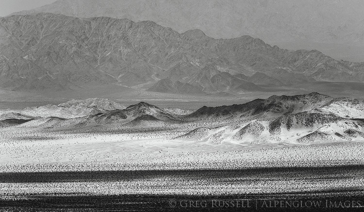
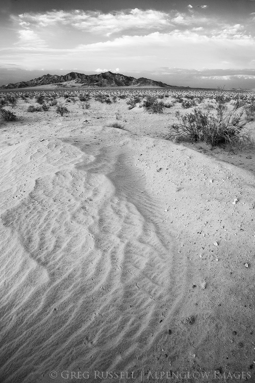
black and white photo of Ship Mountain in Mojave Trails National Monument at sunset

Field Notes: 2017 wildflower season, and some thoughts

Monday, April 24th, 2017

Super bloom

After what’s been a remarkable precipitation winter here in California, we’re moving into spring. Here in southern California, temperatures are inching upwards, my morning runs are getting earlier (to escape the heat), and the hills around my house are slowly turning from green to brown. Despite the quick fade-to-brown, just a few weeks ago those green hills were home to a remarkable wildflower super bloom; the flowers have since moved north to the Carrizo Plain National Monument, where it will probably fade soon too.

photograph of a photographer kneeling in a field of wildflowers during the 2008 wildflower season

A friend snapped this photo of me in Walker Canyon in 2008 (note my not-quite-bald head for dating accuracy). Poppies for days and not a soul to be seen. Photo: Mark Chappell

I first noticed California poppies starting to dot the hillsides around my home in mid-February. It wasn’t long before the news outlets noticed as well. I managed to get out to some remote patches early on, and planned on visiting some of my other favorite spots once things got better. It turns out that “one of my favorite spots” is the Walker Canyon area near Lake Elsinore. In 2008 (the last ‘superbloom’ year), I visited several times and never once saw another person. This year, I drove by. That’s it. After being featured by multiple news sources, I found hundreds of cars parked off the freeway’s frontage road, and people in every conceivable corner of the poppies. I kept on driving.

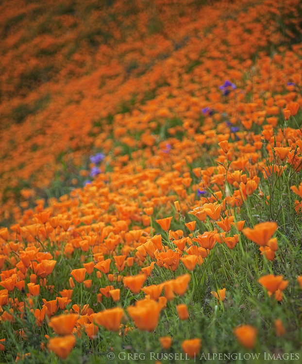
photo of poppies and other wildflowers in southern california during the 2017 super bloom

I heard the same scenario was true in other parts of southern California; Anza Borrego Desert State Park was full of bumper to bumper traffic on its peak weekends, and I heard that the Carrizo Plain has been very crowded as well. Other commitments prevented me from getting out more, but I was content to seek out some wonderful patches of Calochortus (Mariposa lily) and apricot globe mallow in the northern Mojave without fighting the crowds.

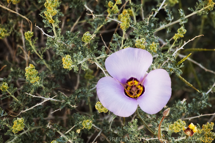
photo of a mariposa lily in gold butte national monument, nevada

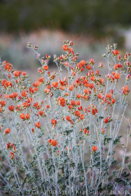
photo of apricot globe mallow in gold butte national monument, nevada

Looking back on the wildflowers–what impact did we have?

The super bloom this year was indeed super. I loved that almost every time I went to the hills I said, “wow, look at those flowers!” It’s no wonder that the news outlets picked up on it because it was indeed hard to miss. Despite not getting out to what used to be my usual spot, I’m not really that upset about it.

A few blog posts ago, I wrote in my code of ethics that “avoiding the cultivation of disorder” is important in landscape photography. This statement has meaning on several levels. First, I was referring to the mayhem of popular photography locations at peak times. When I first wrote that blog post, I was thinking specifically about Horsetail Falls, but this year’s popular wildflower locations certainly fall into the same category. If thoughtful photography or a connection with nature is your goal, I don’t see how it’s possible when trying to work around hundreds of other people.

Second, referring again to the mayhem of hundreds of people visiting a single spot, I have genuine concerns about the impact on the land, and how we contribute to it. Before I sound like a total grouch about people visiting these spots, I should say that I am happy people are getting outside. We truly need more of that. But, the impact should be spread out, not localized. Photographers are partially to blame for this, and the discussion of whether or not to geotag photographs has been had elsewhere. As the information age continues to advance, I feel the need to be more and more vague about certain image locations. This article has made the rounds a few times, and expands on the topic very well.

Finally, by avoiding crowds, you can find new locations you might not have found otherwise. I very much enjoyed scouting locations on long trail runs this spring, then coming back to a few with my camera later on. Also, consider visiting some of the more popular locations in the off season–there are still amazing things to see!

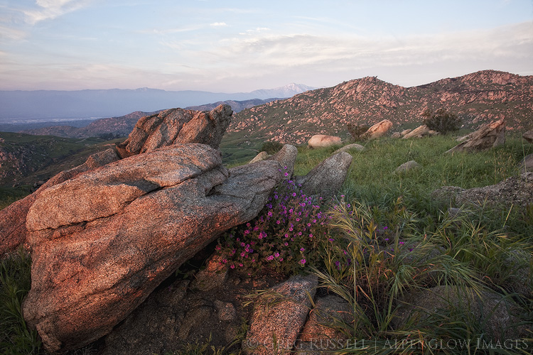
photo of wildflowers and green in hills in Box Springs Mountains Reserve, Riverside County California


Bay of the Smoke

Tuesday, November 8th, 2016

In 1542, two Spanish ships led by Juan Rodriguez Cabrillo explored the southern California coastline.  When they arrived in either Santa Monica or San Pedro Bay (it’s unclear which one), they encountered poor air quality likely due to either smoke rising overhead from nearby Tongva villages, or from a Santa Ana Wind-fueled wildfire. They named the bay they arrived in Baya de los Fumos or Bay of the Smoke, for the lack of air quality.

Shaped by the Landscape

Nearly 500 years later, the greater Los Angeles basin is still known for its poor visibility and a nearly constant haze. Fires perhaps aren’t as prevalent as they once were, and the villages have long since been bulldozed and replaced with a megapolis of concrete, home to millions of people. Myself included.

Southern California’s topography is a major contributor to our poor air quality. Cool air being pulled onshore from the Pacific Ocean, warm air being pulled out to sea from the deserts flanking the region, and a basin closed in by tall mountain ranges all make for a fairly strong inversion that will often trap clouds, haze, and (unfortunately) pollution at low elevations in the basin. The haze Cabrillo and his men described is still a dominant part of life as many as 260 days a year.

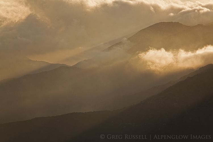
Clouds and fog in the San Gabriel Mountains of southern California at sunset


“During my California visit, I enjoyed the company of fine friends whose grace and lack of complaint in their surroundings made me feel awkward and cynical and even envious…At meals they spoke intelligently of early Burgundian oenological monographs. I explained drip irrigation. Sea air and the presence of many, many succulent green leaves beautifully hydrated their skin. I looked like a desert lizard. I age my organic arugula with my fingers, dopey and slow like one of those Jurassic leaf-eaters with the pin head and the body the size of a truck stop.” – Ellen Meloy, The Anthropology of Turquoise


Getting Above it All

Even after 14 years of living here, southern California has always felt a bit odd, if intriguing, perhaps in a way that Ellen Meloy describes above. I’m not entirely sure it’s Los Angeles’ fault so much as my own reticence to loosen my grip on my roots in the intermountain West. Fortunately, the nearby mountains make it relatively easy to put some altitude underneath yourself to get a breath of fresh air. In my last blog post, I mentioned the San Jacinto Mountains, which lie at the far eastern end of the basin.

Perhaps much more dominant on the Los Angeles skyline are the San Gabriels, one of the transverse ranges, running along the northern edge of the basin. Over the years, one of my favorite views of southern California has been to venture into the San Gabriels to look back down on the valley below.

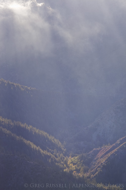
View down the San Gabriel River Canyon from Blue Ridge in the San Jacinto Mountains of southern California

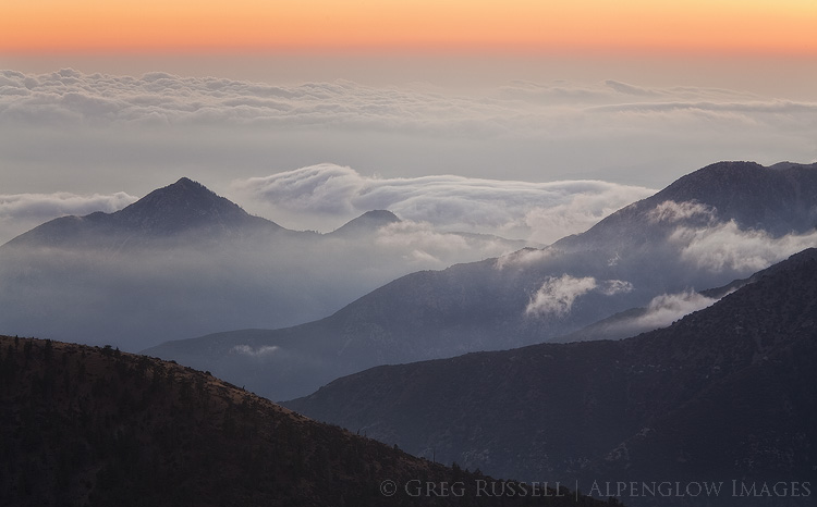
Despite the haze, Cabrillo described southern California as lush and green, with abundant wildlife. Much of that has been wiped clean by the growing metropolis (although there are efforts to bring it back), but it’s still possible to get acquainted the southern California that was by returning to the mountains. Last week, we made a quick trip up to the San Gabriels after work. The clouds blanketing the coastal plain were hitting the mountains and fragmenting, making for a great atmospheric light show. That, combined with waning fall colors on much of the vegetation at 8,000′ elevation, made it a great day out.

As the sun set and the horizon shifted from shades of orange to red to blue, the wind stopped and there was complete and total silence. For a brief moment, hearing the dirt crunch underneath my feet and the cold air bite my nose, I forgot that the megapolis was just a little further below still. For the foreseeable future, I’ll continue to try to find my place with the masses of the greater Los Angeles basin, but it’s comforting to know that within an hour, I can be high above it all, seeing–perhaps–what Cabrillo saw in 1542.

San Gabriel Mountains of southern California at Sunset,

Autumn in the San Jacintos

Thursday, October 27th, 2016

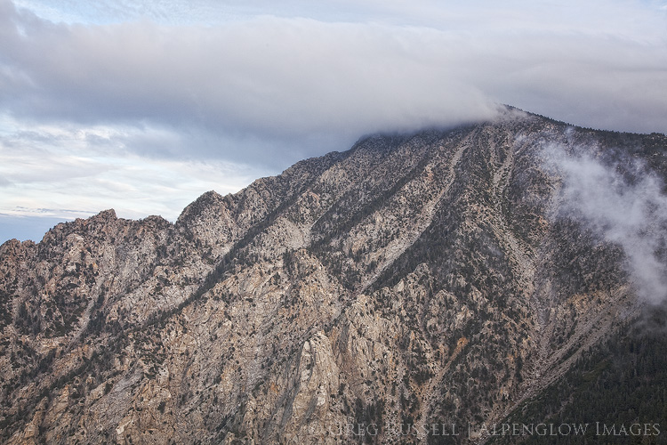
Autumn’s first real storm rolled into southern California last weekend, and we took a short walk in the mountains to enjoy the crisp air and some rain. Fortunately the rain didn’t last long and the short walk extended to about five miles, to the high point of one of the major ridges leading to Mt. San Jacinto, a dominant peak here in southern California. It was the perfect remedy for what’s been a busy autumn so far, complete with plenty of southern California’s signature traffic.

The San Jacintos are one of my favorite mountain ranges. They were formed as a block of granite was squeezed together by the San Andreas and San Jacinto faults, and the rock here is very similar to what is seen in the Sierra Nevada, albeit on a smaller scale. There are many trailheads that are easily accessible, and cross-country walking is relatively easy.  What’s more, no one really visits the difficult to reach trailheads, which is a major bonus.

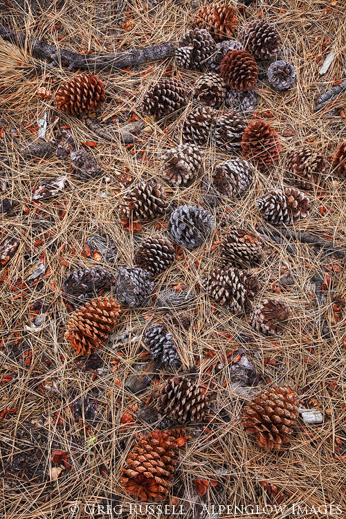
Pines cones and pine needles

“No matter how sophisticated you may be, a large granite mountain cannot be denied – it speaks in silence to the very core of your being” – Ansel Adams

stormy mt. san jacinto

I hope you’re having a great autumn so far, no matter where your trails have led you.

Lay of the Land

Friday, September 9th, 2016

“To rise above tree line is to go above thought, and after, the descent back into birdsong, bog orchids, willows, and firs is to sink into the preliterate parts of ourselves.” – Gretel Ehrlich


The entire summer seemed busy, but August flew by at an unusually rapid pace. My son and I drove from California to New Mexico to visit my parents; on our way out there we broke up the drive by spending a quiet and welcoming night at Navajo National Monument in northern Arizona. Four days after getting home from that trip, my girlfriend and I left on a trip to the north coast of California, visiting friends and family along the way. That leg of our travels culminated at South Lake Tahoe (I know, it’s not the north coast. Don’t ask.), and my dropping her at the airport in Reno to fly home.

From there, I drove south to eastern California, picked up Jackson Frishman at his house in the Deep Springs Valley, and we headed to eastern Nevada to backpack and photograph some Great Basin mountain ranges. By the time I got home from my second trip, my car had more than 3,000 new miles and I guess you could say I really got the lay of the land.

Over the years I’ve spent outdoors, I’ve become acutely aware of moments where time seems to stand still and that particular snapshot in time seems to transcend all others. In those particular rare moments, I’m overcome with an almost indescribable peace, feeling as though there’s no other place on earth I would rather–or should–be. I imagine that Buddhists would describe these moments as feeling very much like Nirvana, when one’s soul is freed from continuous rebirth, thus permanently taking its small place in the world. Put another way, these moments represent true peace.

I’ve always liked the above passage by Gretel Ehrlich because I think perhaps she used tree line as the metaphoric “rising above,” which has always seemed more eloquent than any way I’ve found to describe the feeling. My August travels only took me above topographical tree line a couple of times, but I felt like every turn of the journey somehow took me above Ehrlich’s metaphorical tree line, and I am indeed very fortunate for that. Here are a few of my favorite images from the last month or so.

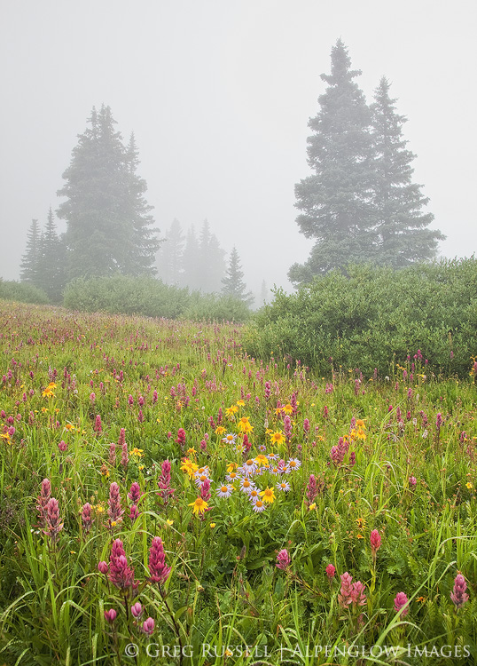
engineer-mountain-wildflowers

Wildflowers in Colorado’s San Juan Mountains

navajo national monument sunrise

August sunrise in northern Arizona.

fort-bragg-coastline

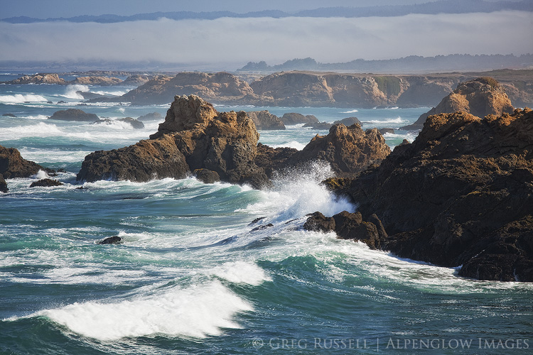
Coastline along the rugged north coast of California

mendocino headlands sunset

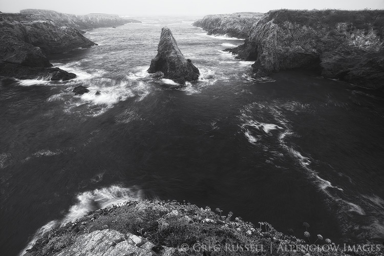
A foggy sunset along California’s north coast

white mountains california

Sunrise over the Deep Springs Valley, California

white pine mountains sunset

Sunset on Currant Mountain, Nevada

Chaos Theory

Saturday, January 16th, 2016

In walking around southern California, I notice many people are starting to doubt the legitimacy of the rain this record El Niño was said to bring us.  Fair enough…we’ve had only one honest storm so far, but meteorologists say it is really just starting to come into its own. Despite not rearing its head too badly yet here, much of the Sierra Nevada is already at 100%+ of snowpack, and wildflowers are starting pop up in the desert.  More on that in a minute though.

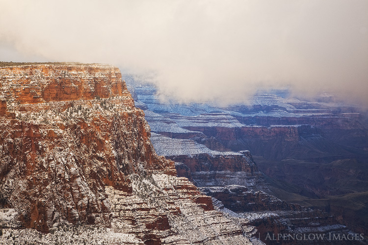
At the end of fall, right before Christmas, I made a quick trip to the Grand Canyon.  While there, I got to experience a fairly stormy day on the south rim, complete with howling winds, whiteout conditions and closed roads.  A couple of images from that trip easily made my Favorites of 2015.  Then, Jackson Frishman and I headed to Death Valley National Park, and the weather was equally spunky.  There was no snow in the valley, but there was plenty of rain, great clouds, and even a few surprises thrown in along the way.

Visiting the Grand Canyon and Death Valley so closely together in time is sort of a surreal experience.  As if I had lost it, I quickly regained my appreciation for deep geological time.  Nearly 75 million years ago during the Laramide Orogeny, the Colorado Plateau was pushed upward nearly two miles and the Colorado River (which flowed from the newly formed Rocky Mountains) started to cut into the rock, forming the Grand Canyon.  Today, the river has cut about as deeply as it can go–to the basement Vishnu Schists–giving us a look back in time about 1.7 billion years.

Death Valley’s geologic story is a bit more complex (and violent), but as the Vishnu basement rocks in the Grand Canyon were being formed, Death Valley was already in a state of unrest, with rocks in certain areas being twisted and folded.  One area of particularly complex folding has been dubbed the “Amargosa Chaos” and is found in the southern end of the Black Mountains.  Fold, fold, fold…then separate.  That’s how the Basin and Range Province creates its mountain ranges–plates are pulled apart until they tilt upward creating massive mountain ranges with deep valleys between them.  In this part of North America, as John McPhee writes, the continent is literally being pulled apart.

You also start to understand a scale of spatial immensity in these two places.  While the Grand Canyon is typically thought of as the “deep” canyon at around 6,000 feet, it’s got nothing on Death Valley, which is over two miles deep (at its deepest).  If you’re not interested geology (I know…how can you not be?), it might be just as easy to stand in awe of both of these places, allowing yourself to feel small, both as a part of the landscape, and as barely-a-blip in geological time.

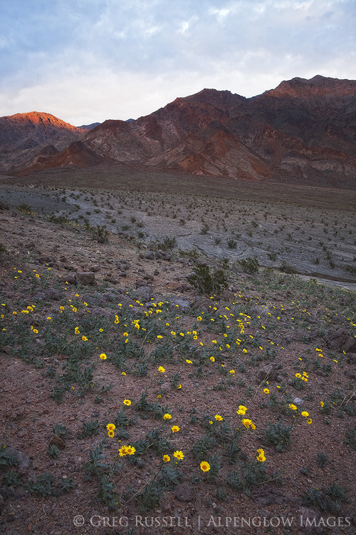
It’s worth noting briefly that while spring on the Grand Canyon’s rim is a few months off, it’s already happening in (especially) the southern end of Death Valley.  Jackson and I saw fields of Desert Gold (Geraea canescens) that created a wonderful lace-work pattern among the volcanic rocks in the southern Black Mountains.  All of the other usual suspects were starting to bloom as well, but are several weeks off from peak.  Hopefully some dreary, drizzly conditions continue in Death Valley, and it’s got the possibility of becoming a very good year for wildflowers.  Jackson has several photos and more commentary on his blog as well.

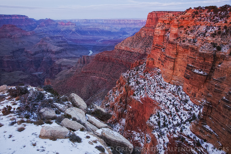
A winter evening at the south rim of the Grand Canyon

Death Valley mountains and wildflowers

Stormy winter morning on the south rim of the Grand Canyon

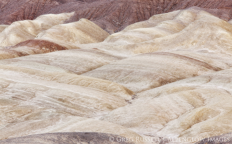
Salt Creek Hills, Death Valley

Making Peace

Monday, December 7th, 2015

I normally try to not let politics mingle with my photography, mostly because I’m not that political of a person. However, last week’s shootings in California hit a little too close to home, and today I’m feeling the weight of it all.

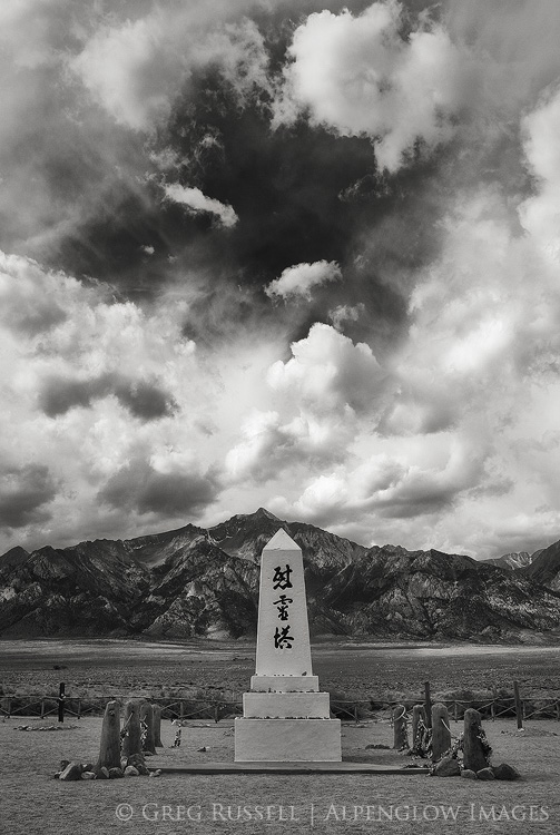
Today, I’m thinking about this image, which I made back in 2010 in the cemetery at Manzanar National Historic Site. If you’ve spent any time in the eastern Sierra, you’ve surely driven by, maybe even stopped. Manzanar was one of the internment camps that the U.S. government established after the bombing of Pearl Harbor to house Japanese-American citizens. These internment camps were the result of the mass hysteria of not knowing who the enemy might be as the U.S. entered World War II.

Upon reflection, our view of Japanese-Americans was painted with the broad brushstrokes of fear–an entire ethnic group was characterized based on the actions of a government across the Pacific.

It’s been a rough month, with the Paris bombings, various attacks elsewhere, capped off by the largest mass shooting seen in the U.S. in two years. Of course no reasonable person wants to see these things happen, but at the same time, we struggle for someone to “blame”–perhaps knowing we can pin the blame on someone, or something, helps ease the sting a little bit, helps us make sense of it.

In making peace with these senseless deaths, history seems to be repeating itself, and many people are once again painting an entire religion with broad brushstrokes, based on the actions of a few. The growing hysteria and now-cyclical rhetoric is no doubt fueled by ongoing debates between presidential candidates, social media, and the conflation of this discussion with that of gun control.

I’ve only stopped at Manzanar once–it’s all I could handle. While the visitor center presents the role of internment camps in our history as best it can, there’s a certain melancholy that seems to have transcended the buildings and gardens, which are now gone. There’s the memory of good people being ripped from their homes and sent to places they didn’t want to go, simply because of their ethnicity. This was a low point in our country’s history; although it can’t be undone, it should be cause for serious self-reflection. The violence we face today is not a Muslim problem, a Christian problem, or an atheist problem. It’s a problem of angry people doing awful things. Stopping those awful things from happening is the topic of another blog post, which I’m not qualified to write.  However, if we are to move forward as a country and search out solutions, we can’t do it divided, scared of one another, labeling one another–it simply won’t work.

Okay, now that that’s off my chest, the year is wrapping up and I’m thinking about my “best of” blog post. I’ve had a varied, but productive year, and look forward to sharing some of those images soon.  Thanks for reading.

Manzanar cemetary, with Mt. Williamson

Happy Thanksgiving

Thursday, November 26th, 2015

Happy Thanksgiving!  It’s hard to believe that a year has passed already since my last Thanksgiving post.  It’s true what they say about time flying by, and that’s been something on my mind a lot lately.  This year, I’m grateful for time spent with family and friends over the last year, today, and in the year ahead.

This morning, I started the day in the San Gabriel Mountains of southern California.  Predawn temperatures were in the teens.   Rime ice covered the trees, and as icicles started falling off pine needles, they shattered the morning’s silence with the tinkling sound of fine china hitting the ground.  Not a bad way to start Thanksgiving morning.  This afternoon will be spent with a pot of posole, then off to the desert tomorrow to spend Black Friday outdoors.

Wishing you and yours a happy Thanksgiving!

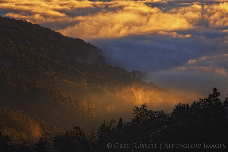
San Gabriel Mountains, fog

Chasing Set

Saturday, March 7th, 2015

“You will then…quickly discover the music and poetry of these magnificent rock piles…each and all are the orderly beauty-making love-beats of Nature’s heart.”  — John Muir


Every so often a place will catch my eye and after just a little research, “Hmmm that place looks interesting!” turns into a bit of an obsession. This is probably why I’ve always liked maps so much: I can imagine what a place is like, and after I’ve been there, I can mentally put individual rocks and trees on the contour lines.  This obsession isn’t driven so much by photography, but by how remote and unvisited it is.  There’s something calming about unplugging and getting far, far away.

I’ve had my eye on the Coxcomb Mountains, a small but surprisingly imposing mountain range near the California-Arizona border, for a little over a year.  After they caught my eye, I started reading the few trip reports I could find, trying to correlate them with topographic maps.  In late January a friend and I made a long day hike into the range, and it was exactly what I’d hoped for: no trails, no sound, and no easy access point.  I returned a couple of weekends ago for an overnight backpack.

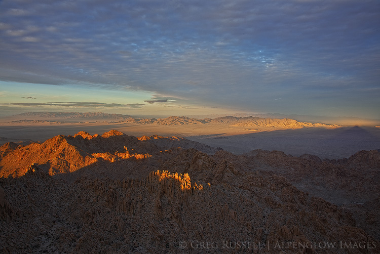
Coxcomb Mountains Sunset

The mountain ranges in the Southwest deserts are basically very big piles of boulders–the Coxcombs rise over 3,000′ from the bajada.  Their canyons are choked with rocks and boulders that have come down from the high peaks during floods and winter freeze-thaw cycles.  There’s a special kind of chaos here in the desert, and after being in places like this, it’s no wonder that in Egyptian mythology Set is the god of both the desert and chaos.  Making a coherent photograph out of the disorder would require me to climb to one of the high points in the Coxcombs to confront Set on his terms.

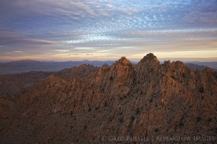
Sunset on Dyadic Point, Coxcomb Mountains

There’s no available water to speak of in the Coxcombs, so I spent only one night, hauling in about six liters of my own water.  After a four-mile hike across the bajada, I started working my way up a canyon, towards Tensor Point, one of the three high points in the Coxcombs that make up “Aqua Peak.”  The panoramic view from the top is impressive, and one can see the San Bernardino Mountains nearly 100 miles to the west, as well as ranges that stretch into Arizona.  Additionally, the views of the Pinto Basin, in Joshua Tree National Park, are outstanding.

After sunset, I spent a couple of hours with a somewhat pesky deer mouse, and finally fell asleep.  I woke up the next morning with no deer mouse but with a thick blanket of clouds.  After breakfast, I packed my gear up and arrived at the car just about the time rain started to fall on the desert in earnest.

I’ve never had much luck making any sense of the desert’s jumbled boulder piles in a photograph.  While they’re beautiful to look at, they’ve never translated well to photographic compositions for me.  Being on top of Tensor Point allowed me to step back from that chaos and compose images that seemed to make it all fall into place.  After a nine mile cross country hike through boulder piles and thick cat’s claw, I realized that maybe to make sense of the chaos, you must fully immerse yourself in it.

A Golden Idea

Wednesday, September 3rd, 2014

“There is growing awareness of the beauty of country … a sincere desire to keep some of it for all time. People are beginning to value highly the fact that a river runs unimpeded for a distance… They are beginning to obtain deep satisfaction from the fact that a herd of elk may be observed in back country, on ancestral ranges, where the Indians once hunted them. They are beginning to seek the healing relaxation that is possible in wild country. In short, they want it.”  — Olaus J. Murie


Today is the 50th anniversary of the Wilderness Act.  If you follow the same online circles as I do, you’ve seen the coverage, the essays, the photo contests, etc.  Indeed, setting aside land to be protected  and remain–in the words of the act’s primary author, Howard Zahniser–“untrammeled by man,” is a noble notion and its golden anniversary is one worth celebrating, despite the criticism the idea has received by wilderness deconstructionists.

Looking through my photography from 2014 as well as through the years, I’m struck by how many times I’ve found myself in a designated wilderness making images.  This certainly hasn’t been intentional but I realize how much the landscapes protected by this legislation have impacted me.  Making images has been incidental to the the feeling of being…home…I’ve found in these wild places.  Our wild landscapes deserve our respect, protection, and our rabid defense if some of it is to remain intact.

One of the highlights of my summer was a trip into the Ansel Adams wilderness with my good friend Jackson Frishman.  One day, as I complained about writer’s block on my blog, Jackson gently reminded me that sometimes you don’t need to write a lot–the images can speak for themselves.  I’m not sure I have a lot to say about wilderness that hasn’t already been said, so I’ll take Jackson’s advice here and just show some recent images, made in celebration of wilderness.

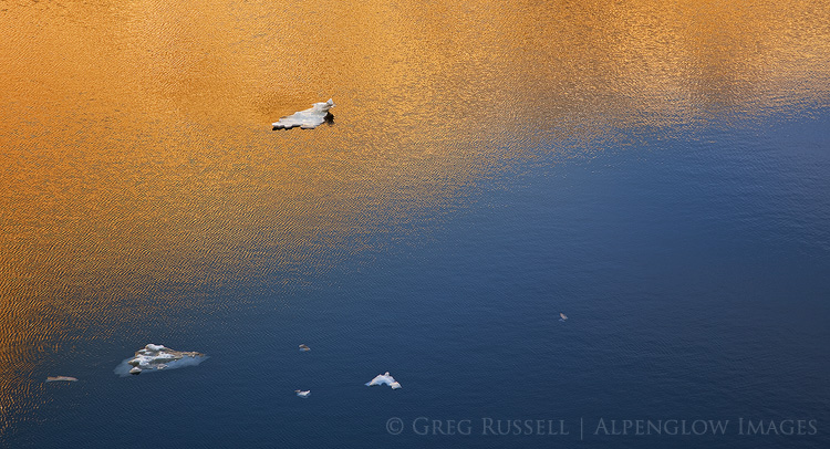
Ansel Adams Wilderness reflections


John Muir Wilderness sunrise