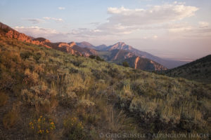
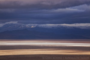
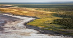
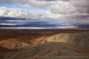
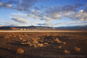
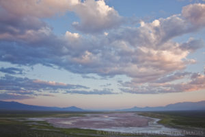
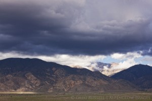
“If you want to study lakes, go to the desert. Here in this far-flung reach of the Great Basin, lie the ghosts of Ice Age water. All waters flow inward. All waters–they come from scant precipitation–drain to closed valleys, where, for the most part, they vanish. Bone white playas in the surrounding terrain…form the arid sinks between mountain ranges. The rhythm names the province: basin (alluvium-filled depressions bound by deep faults) and range (ragged, sky-scraping escarpments). The mountains’ granitic ribs run with a north-south grain, pulled apart by an east-west stretch across the basins.” – Ellen Meloy
“If you free yourself from the conventional reaction to a quantity like a million years, you free yourself a bit from the boundaries of human time. And then in a way you do not live at all, but in another way you live forever.” – John McPhee
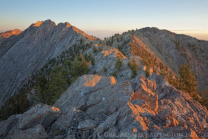
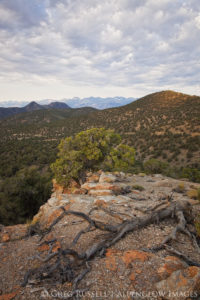
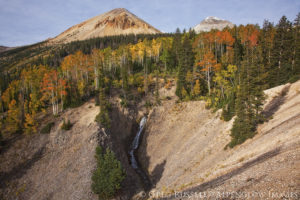
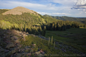
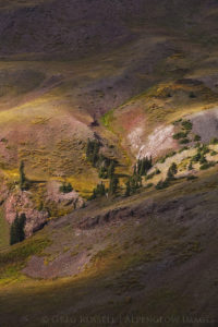
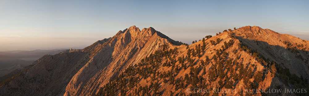
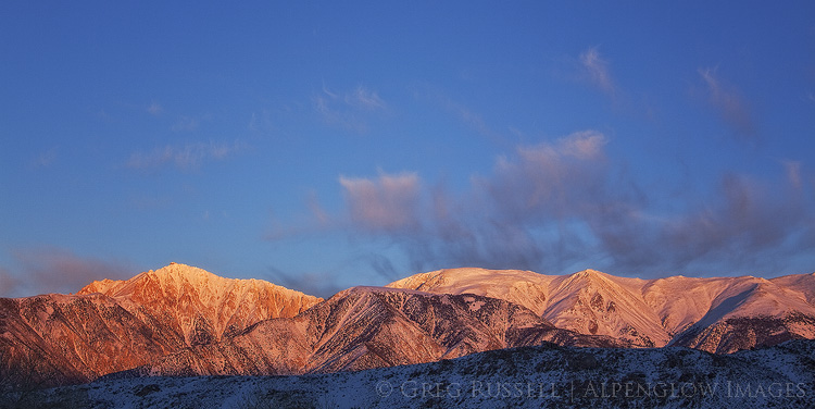
With massive high-altitude mountain ranges like the Whites, Snakes, Rubys, and Toiyabes, the entire Basin and Range Province is characterized by alternating arid valleys and abrupt, steep mountain ranges. Localized primarily in Nevada, but extending into southern Nevada, eastern California and western Utah as well, each range in this unique province almost seems to have its own unique ‘personality’ in terms of geology, flora, fauna, etc.
This part of the country has rooted me to the notion of a deep geological time. In more ways than one, a million years, ten million years, or five hundred million years seem so abstract, it’s almost as if they couldn’t have elapsed. However, the geological origins of the Basin and Range are so apparent to even the casual visitor that these long spans of time suddenly become tangible, even relatable.
Click any of the thumbnails to see a larger image, and an accompanying description.
 |
 |
 |
 |
 |
 |
 |
 |
 |
 |
 |
 |
 |
 |
 |